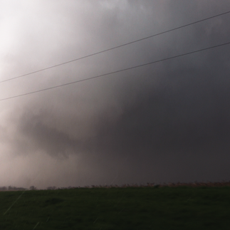
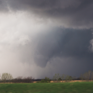
The long-track tornado that Colin Davis and I documented in southeast Iowa on Tuesday evening has been rated an EF-2 by the National Weather Service. It was on the ground for 26 miles and 45 minutes!
As the tornado went along it's journey it would cloak itself in rain only to reemerge with a totally reinvented look. A nearly wedge appearance was displayed early on near Salem, Iowa, before Colin and I have a view. While we watched it track from New London to Mediapolis the tornado went from a narrow cone, to a big broad circulation with a carousel rotating above it, back to a photogenic cone tornado before it disappeared into the rain one final time and dissipated.
More from the NWS Survey: https://www.weather.gov/dvn/summary_04162024
A collection of images from our view of the EF-2 tornado from New London to Mediapolis:
Video highlights:


